In my
first entry in this blog, I made the plea for better and cheaper maps. That was a year and a half ago. Now Google, has come up with two different services that enable pretty much everybody to superimpose additional layer of data on maps and satellite imagery.

The services are
Google Maps and
Google Earth. The first service has an API that allows people to use it and add features to the initial service provided by Google.
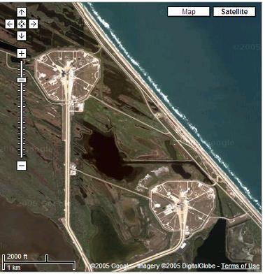
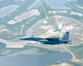
Google Maps Mania lists all these new ideas and the amount of them keep on growing everyday. The space shuttle Discovery lifted off yesterday and one can already see bow different aspect of these services can be used, first one can see where the
launchpad was. The same capability can be used to figure out the location of the
International Space Station and the Shuttle. Other examples putting meaning and geography together can be found
here and
there. Fascinating. One can always think of
other type of data to be added or how it can be used to tell a story such as that of the
Grand Challenge 2004 as
John Wiseman did.