Showing posts with label google maps. Show all posts

Saturday, February 18, 2006

Multi-use of Google Maps


Google Maps Mania just featured Peter Pesti at Georgia Tech with his Google Maps Nighttime!. At the same time, Google also uses Google Maps to geographically target customers through their
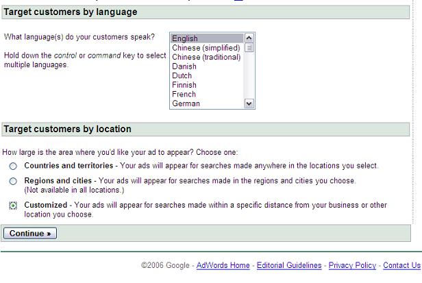

Adwords program (here some of the screen grab of the application within Adwords).


On another note, if one were to have a very high resolution camera, one could shoot a high definition picture and use the same Google Maps interface to go into the details of that picture (like in the following game using Google Maps). More information on how to introduce a custom map into Google maps can be found in GoogleMapki. This possibility offers other avenues,. For instance, if one were to have an HDTV camera, one could patch different pictures from a scene (every picture is taken at 1/30 th second) and have the Google interface allow navigation through it. One cannot but think that a similar system would work well for Nat's world (a program designed to help Autistic kids know their environment by navigating through it.)

Sunday, September 04, 2005

Friday, July 15, 2005

GIS on steroids


In my first entry in this blog, I made the plea for better and cheaper maps. That was a year and a half ago. Now Google, has come up with two different services that enable pretty much everybody to superimpose additional layer of data on maps and satellite imagery.
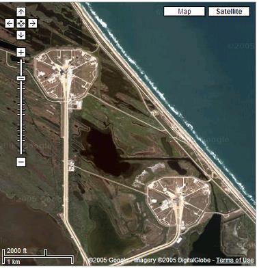
The services are Google Maps and Google Earth. The first service has an API that allows people to use it and add features to the initial service provided by Google. Google Maps Mania lists all these new ideas and the amount of them keep on growing everyday. The space shuttle Discovery lifted off yesterday and one can already see bow different aspect of these services can be used, first one can see where the launchpad was. The same capability can be used to figure out the location of the International Space Station and the Shuttle. Other examples putting meaning and geography together can be found here and there. Fascinating. One can always think of other type of data to be added or how it can be used to tell a story such as that of the Grand Challenge 2004 as John Wiseman did.

Printfriendly